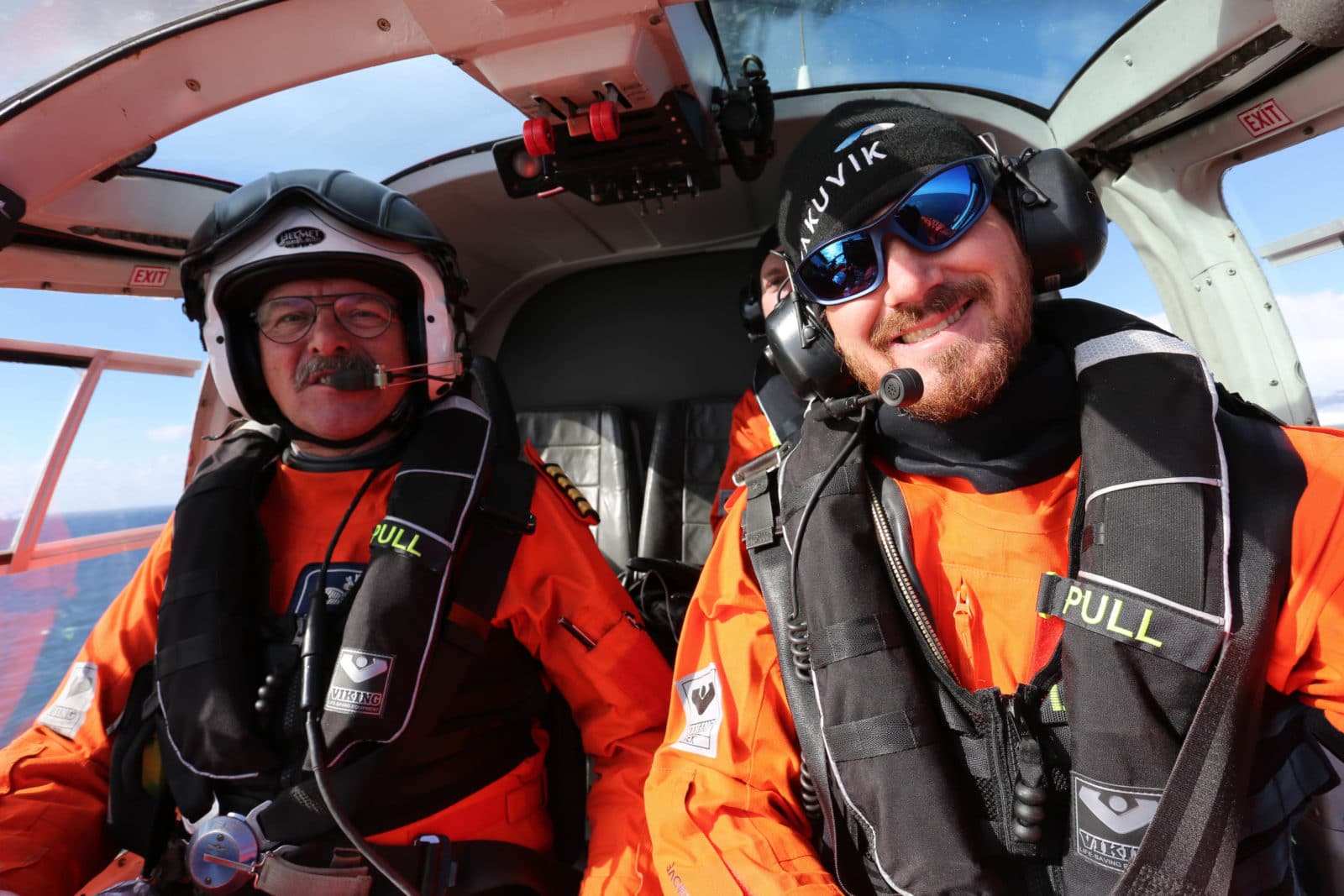
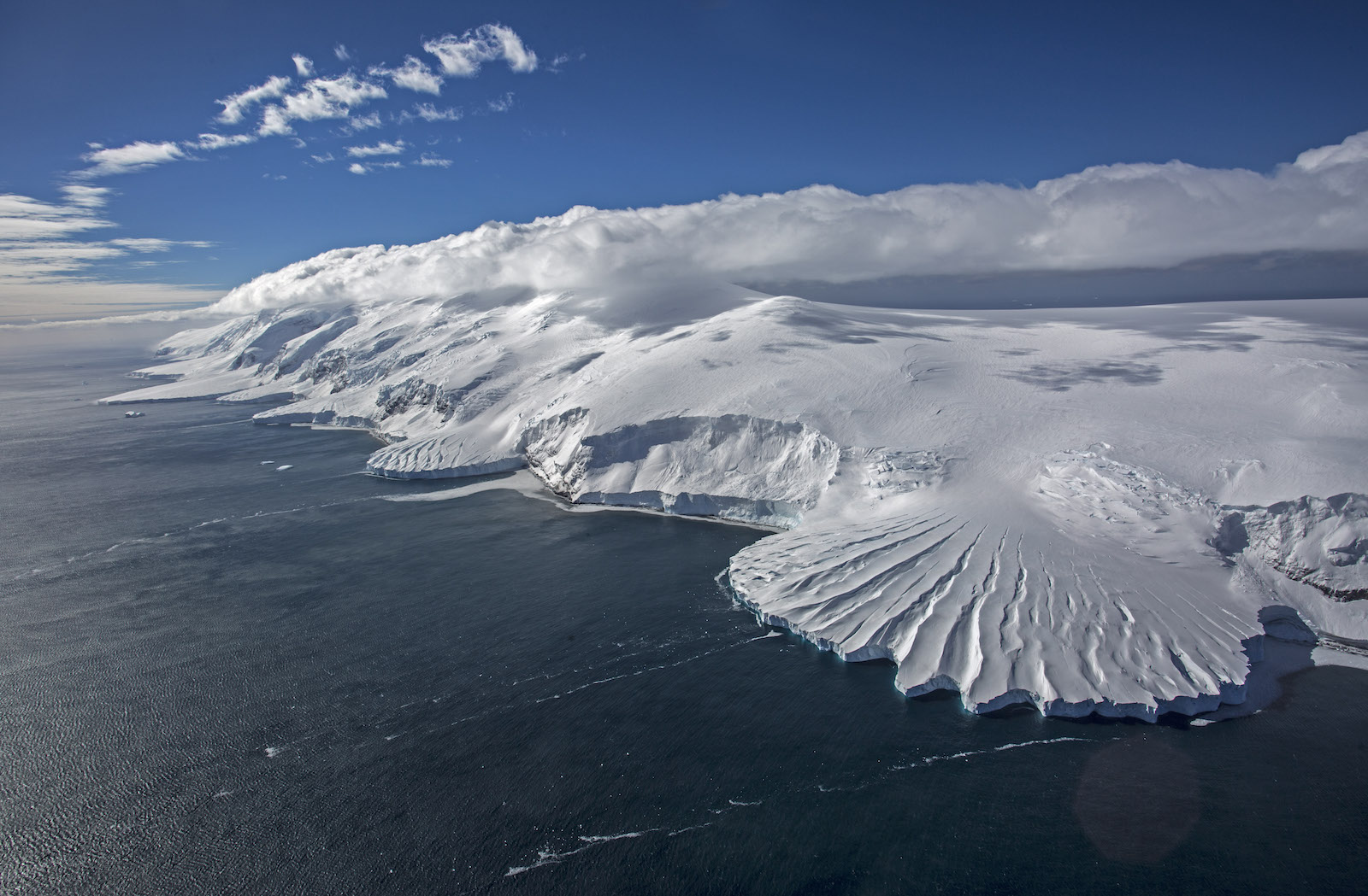
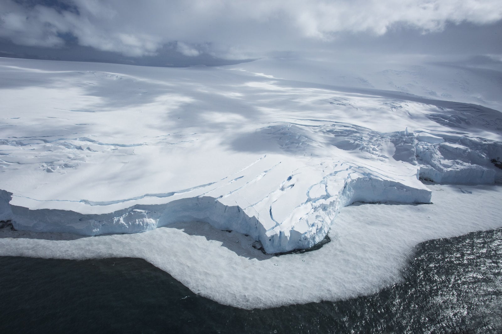
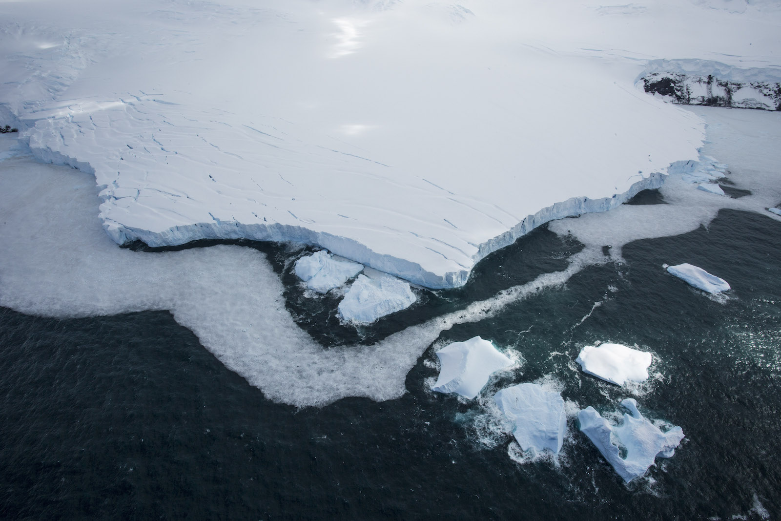
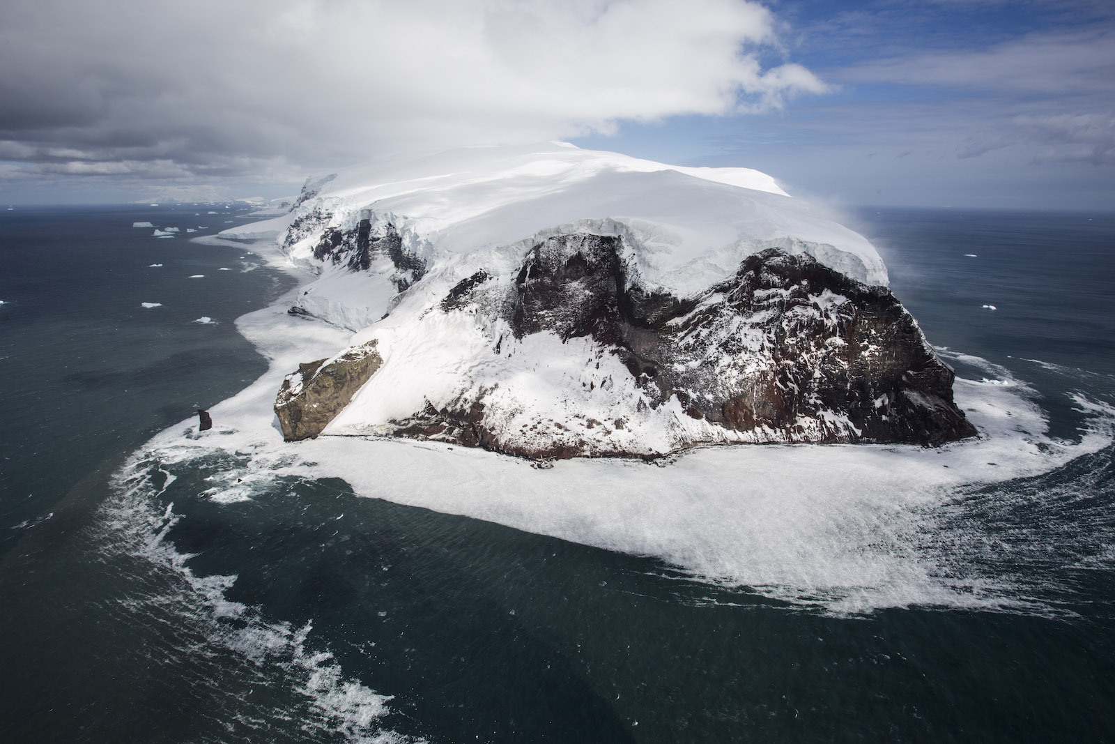
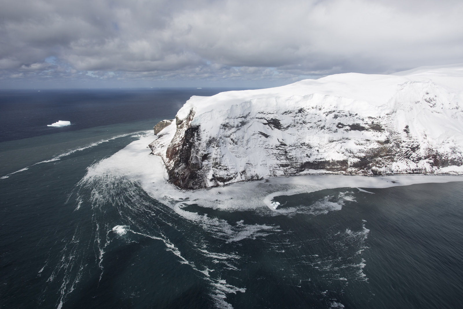
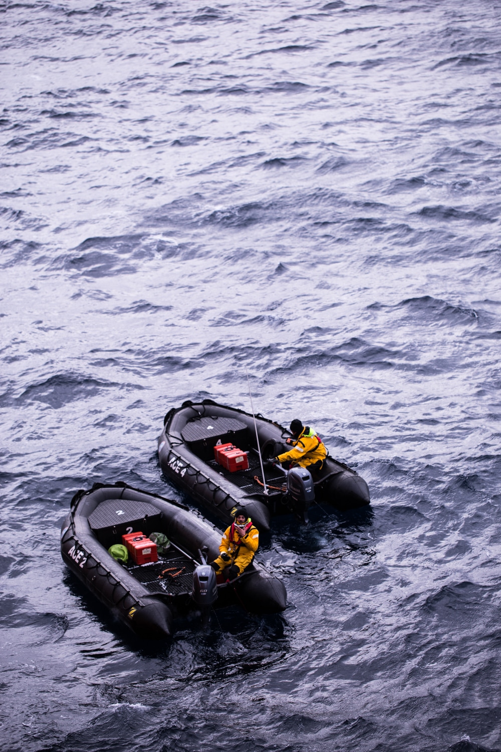
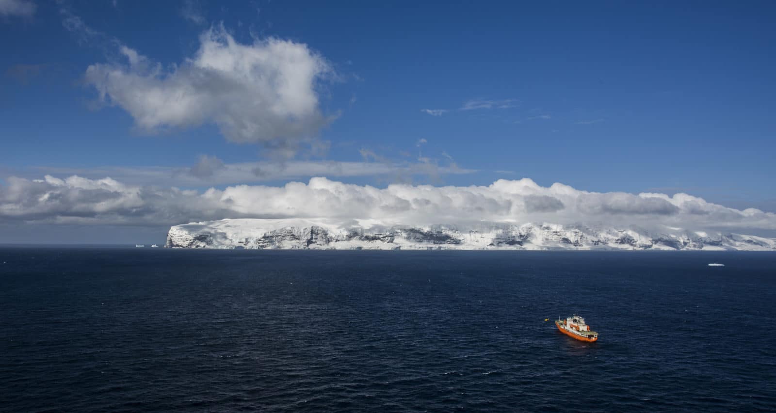
After the Mertz stopover, ACE expedition reached the Balleny archipelago, a serie of uninhabited volcanic islands. Realizing that their is no good map of the Balleny Islands, David Walton proposed a new mission for ACE: Create a topographic map of the islands Young Buckle and Sabrina. Therefore, the media team and pilots conducted a systematic photographic survey of the Balleny Islands by helicopter, shooting stills and 4K video to cover entirely all three islands. Peter Ryan embarked in the second chopper to do a bird survey and identify penguin rookeries.
L’expédition poursuit sa route. Après un arrêt au glacier Mertz, elle a atteint Balleny, un archipel d’îles volcaniques inhabitées. Réalisant qu’il n’existe pas à proprement parler de carte des îles Balleny, David Walton, chief scientist, a proposé une nouvelle mission pour ACE: faire un relevé topographique des îles Young, Buckle et Sabrina. L’équipe média et les pilotes sont donc partis en hélicoptère afin de documenter la totalité de ces trois îles de manière minutieuse et systématique avec des photos et des vidéos 4K. Peter Ryan, ornithologue, a quant à lui embarqué dans un deuxième appareil pour recenser les oiseaux et observer une colonie de manchots reproducteurs.
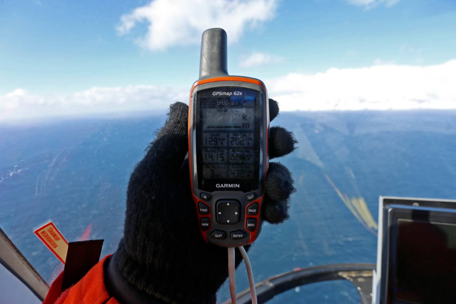
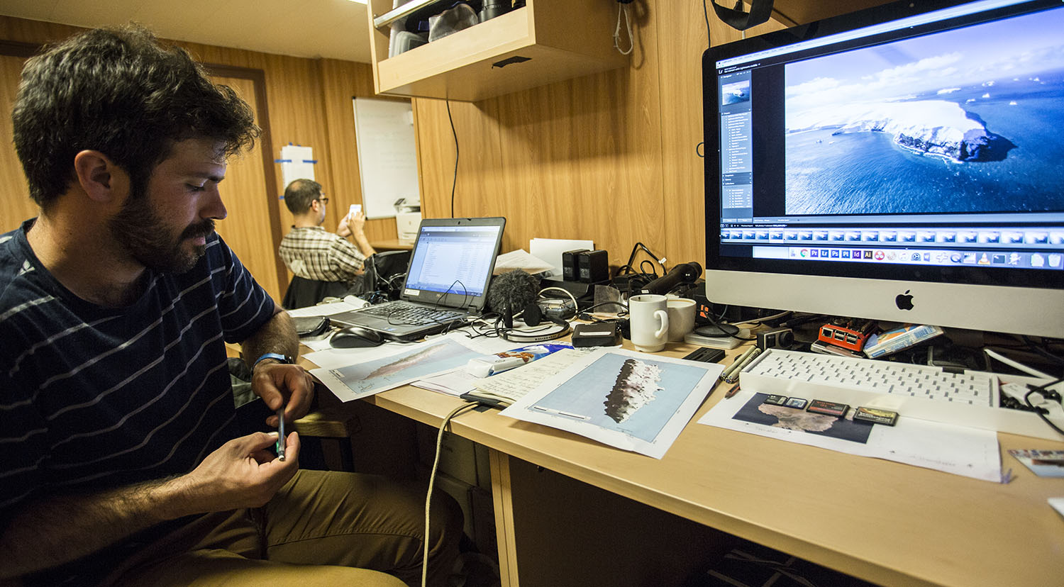
Brad Markle, an expert in paleoclimate and climate dynamics, and Noé Sardet, from the Parafilms/EPFL media team, referenced the photos on a rudimentary satellite map. Brad will continue the work using a specialized software that creates a 3D model of the islands from the photos and GPS coordinates, a technique called “Structure from motion”.
Brad Markle, expert en paléoclimat et dynamiques climatiques, et Noé Sardet, représentant de la cellule média Parafilms/EPFL, ont reporté les données photographiques sur une image satellite rudimentaire. Brad a ensuite utilisé un logiciel spécialisé pour créer des modèles 3D des îles à partir des images et des coordonnées GPS, une méthode nommée “Structure from motion” (structure à partir du mouvement) ou SFM.
Photos: Noé Sardet, Parafilms/EPFL.