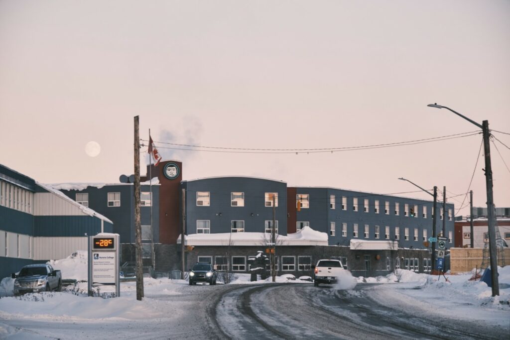
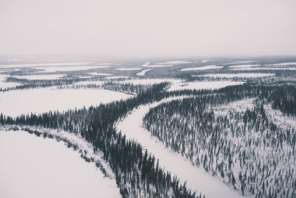
Arctic rivers and their deltas are increasingly impacted by the rapid changes the Northern regions are currently facing. The Canadian Northwest Territories have witnessed dramatic increases in temperature and precipitation over the last decade, leading to widespread thawing of previously frozen soils (permafrost). To investigate whether this changing climate has already affected the fluxes and characteristics of materials exported by the Mackenzie River, the largest North American river discharging into the Arctic Ocean, we set out to Inuvik, a town located on the East Channel of the Mackenzie Delta. Our goal was to collect lake sediment cores, because the abundant shallow lakes within the Mackenzie Delta are regularly flooded by the river, and lake sediments therefore record what is transported by the river and thereby provide information on changes occurring within the river’s watershed. In particular, we aim to investigate whether the lake sediments recorded evidence for mobilisation of the vast stores of carbon held in permafrost throughout the watershed.
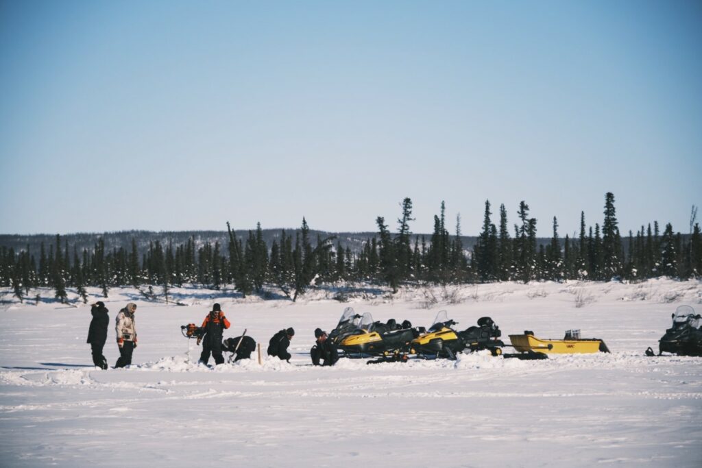
We targeted three different types of lakes: “no closure lakes”, which are permanently connected to the Mackenzie River; “low closure lakes”, which are flooded annually during the spring freshet; and “high closure lakes”, which are only flooded during exceptionally high water levels. A special category are so-called thermokarst lakes, particularly dynamic features that form when ground ice melts, causing a depression where water accumulates, often leading to further soil erosion along its shores, which ultimately leads to its drainage. The best time to access the lakes is in late winter when they are still frozen over, allowing for relatively easy access via snowmobile or helicopter, but while daylight hours are of sufficient length to work in the field. And indeed, when we arrived in Inuvik on March 15, temperatures were just above -30°C with almost 12 h of sunlight.
The ice cover of the lakes was about 1 m thick, so together with snow shoveling, the drilling of five holes (one per core) proved to be great physical exercises to warm up in the cold. Our custom-made, low-tech sediment corer froze up quickly though and required some innovative quick fixes to improve its performance. With 15 lakes in total, we wanted to cover a large part of the Mackenzie Delta. The accessibility of some planned sites was uncertain at first – as snow conditions can be challenging for untrained snow mobile drivers – but thanks to the great support of Aurora Research Institute technician Ryan McLeod, we managed to reach all ten lakes we had originally planned for. Five additional lakes were accessed via helicopter. Unfortunately, those two helicopter days were relatively grey and snowy with poor visibility over the delta – but the work went well and we actually finished earlier than originally planned. Now that all samples have been successfully brought back to ETH laboratories, we can start to exploit these sedimentary archives and search for the potential evidence of accelerating permafrost thaw.
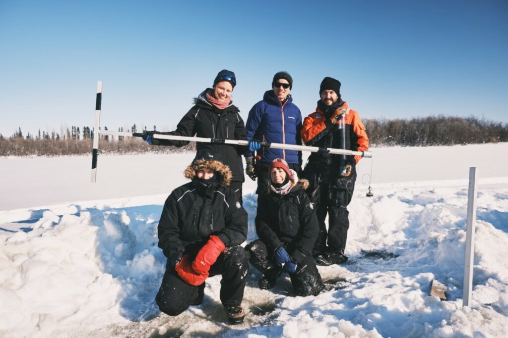
Lisa Bröder is a researcher at ETH Zurich. Her field trip took place in spring 2022 with financial support from an SPI Exploratory Grant.
Header photograph: © Maarten Lupker, all rights reserved